Products & Technology
Common Operation Picture
A Means of Battlefield Visualization Based on Digital Electronic Map
A Means of Battlefield Visualization Based on Digital Electronic Map
TACS Map is a solution that is capable of converting data and coordinates to visualize various geographic data in the form of electronic charts, military maps, satellite images, and bathymetric chartsbased on the high-performance GIS engine. TACS Map provides MFC, COM and Android SDK, so you can choose the solution package according to your needs.
Main Features
-
Data Conversion
Provides a function to generate the spatial index of electronic chart/FDB shape and convert the format
Includes a dedicated data provider to ensure optimal performance -
Layer Management
Provides a function for creating layers such as electronic chart, FDB/ESRI shape, raster, grid, and transparency
Provides functions to add, delete, merge and duplicate layers and adjust their order -
Electronic Nautical Chart
Application of the S-52 Presentation Library and in compliance with international standards
Provides a function for displaying topographic information and map color setting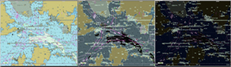
-
FDB Shape
Application of the MND-STD-0023A map display standard
Provides a function for displaying topographic information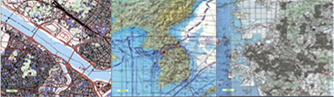
-
Raster/Grid
Provides a function for visualization of data such as satellite/aerial images and elevation/depth information
A function for analysis of the light of sight and color table setting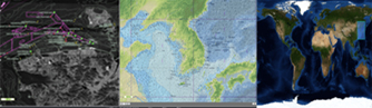
-
Overlay
Supports the latest components of MND-STD-2525C
Supports the transparency code and format standard
Transparency Functions
- Creation and editing of transparency and overlap management functions
- Transparency transmission/reception using KVMF tactical data link
- Support general-purpose diagrams, military symbol, and operational code
Displays Symbols According to the Standard Military Symbols (MND-STD-2525B , MND-STD-2525C)
Analysis Function
- Various analysis functions incl. context analysis, terrain analysis, maneuvering path analysis, and line of sight analysis
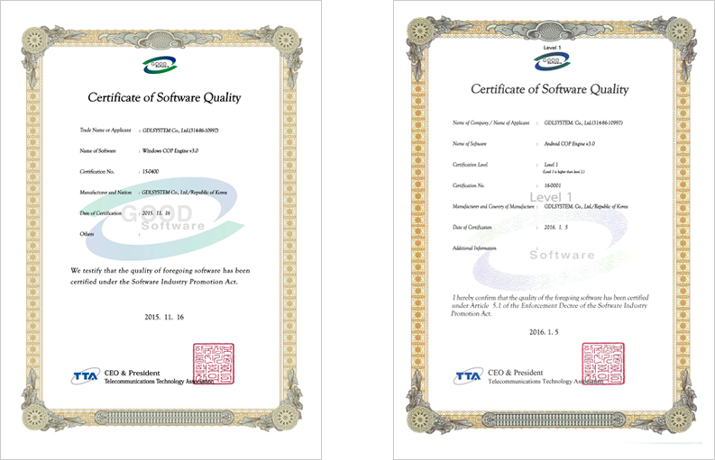
Window & Android COP GS Certification
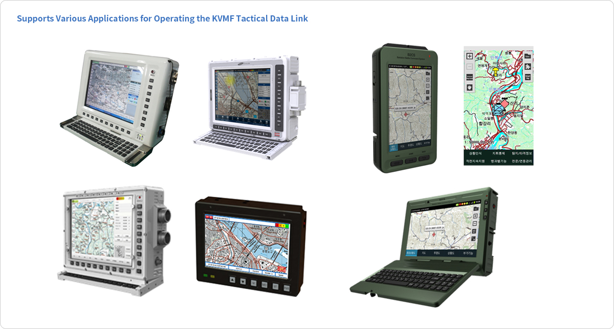
Supports Various Applications for Operating the KVMF Tactical Data Link
- Design and development of various application screens for an optimal message environment based on the KVMF standard
- Control of the interconnection among communication equipment for radio network operation for combat
- Interconnecting with the KVMF data link processor
- Ease of application of various commercial software (navigation, anti-virus, etc.)
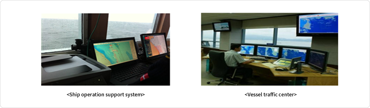
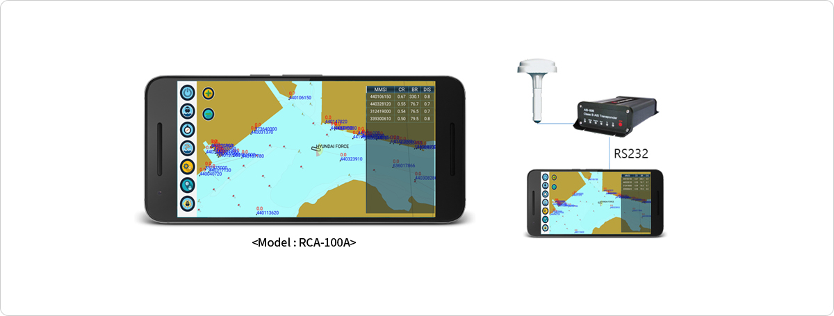
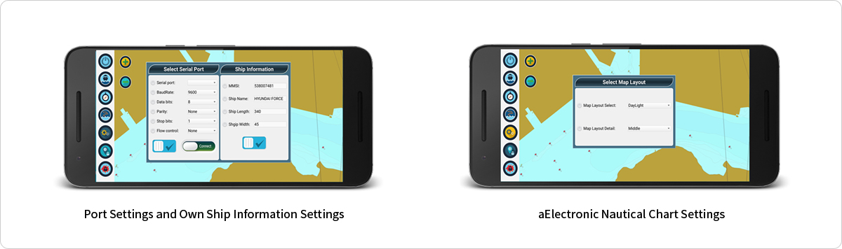
Real-Time Ship Collision Prevention System: Android-Based Ship Collision Prevention System
Real-Time Ship Collision Prevention System for Installation on Board
- AIS interconnection
- Display of one’s own position and the positions of other ships
- Display of the risk level of ship collision
- Display of a list of ship collision risks in a descending order
- Display of an alarm message and an alarm sound in case there is a risk of collision
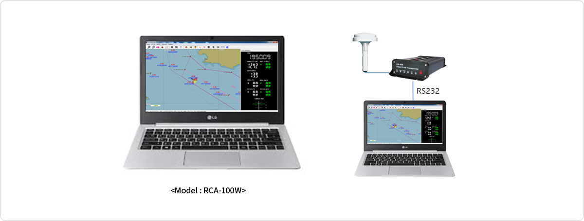
Real-Time Ship Collision Prevention System: Windows-Based Ship Collision Prevention System
Real-Time Ship Collision Prevention System for Installation on Board
- ECDIS interconnection
- AIS interconnection
- Display of one’s own position and the positions of other ships
- Display of the risk level of ship collision
- Display of a list of ship collision risks in a descending order
- Display of an alarm message and an alarm sound in case there is a risk of collision
Real-Time Ship Collision Prevention System for Ship Monitoring Purposes
- Interconnection with AIS and RADAR at the VTS Center
- Supports NMEA-0183 standard interface